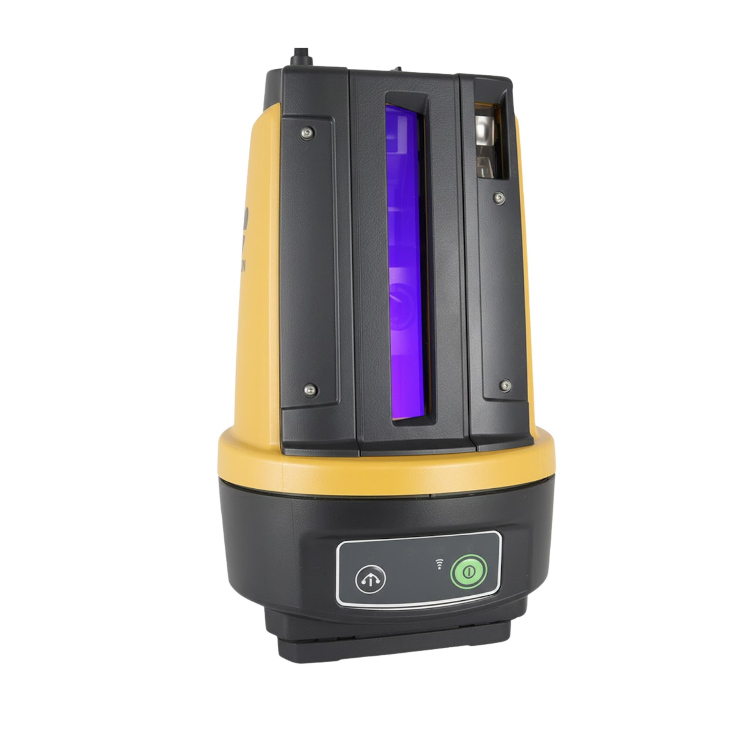
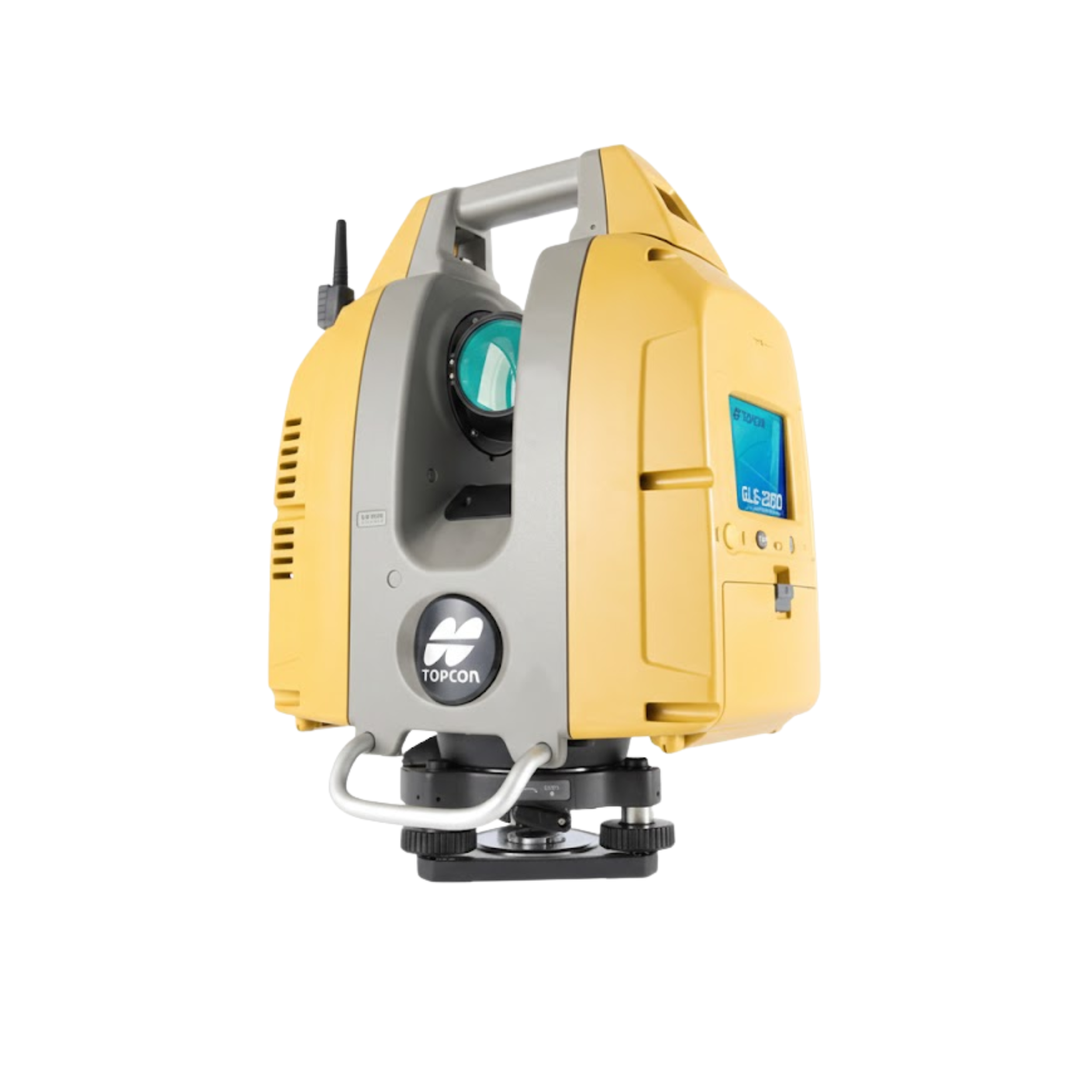
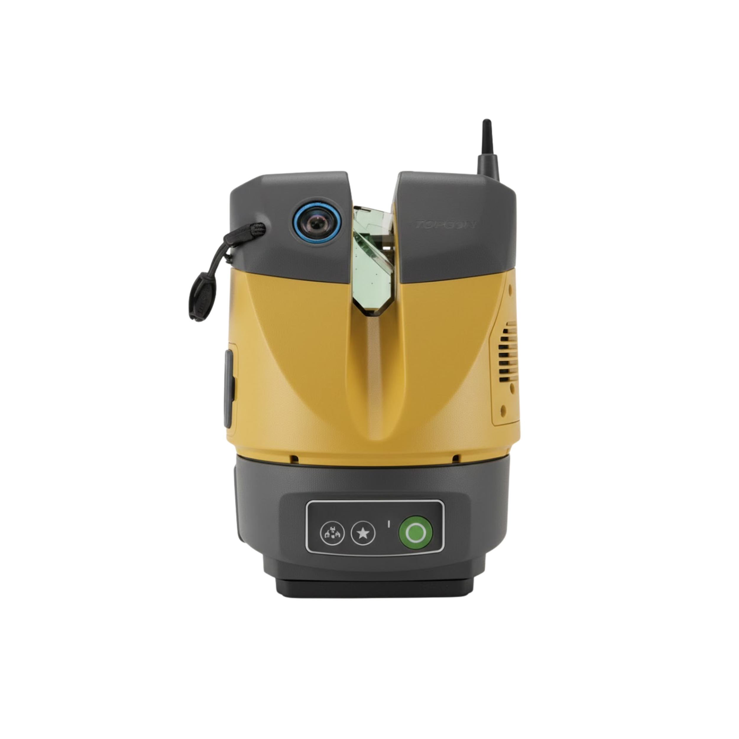
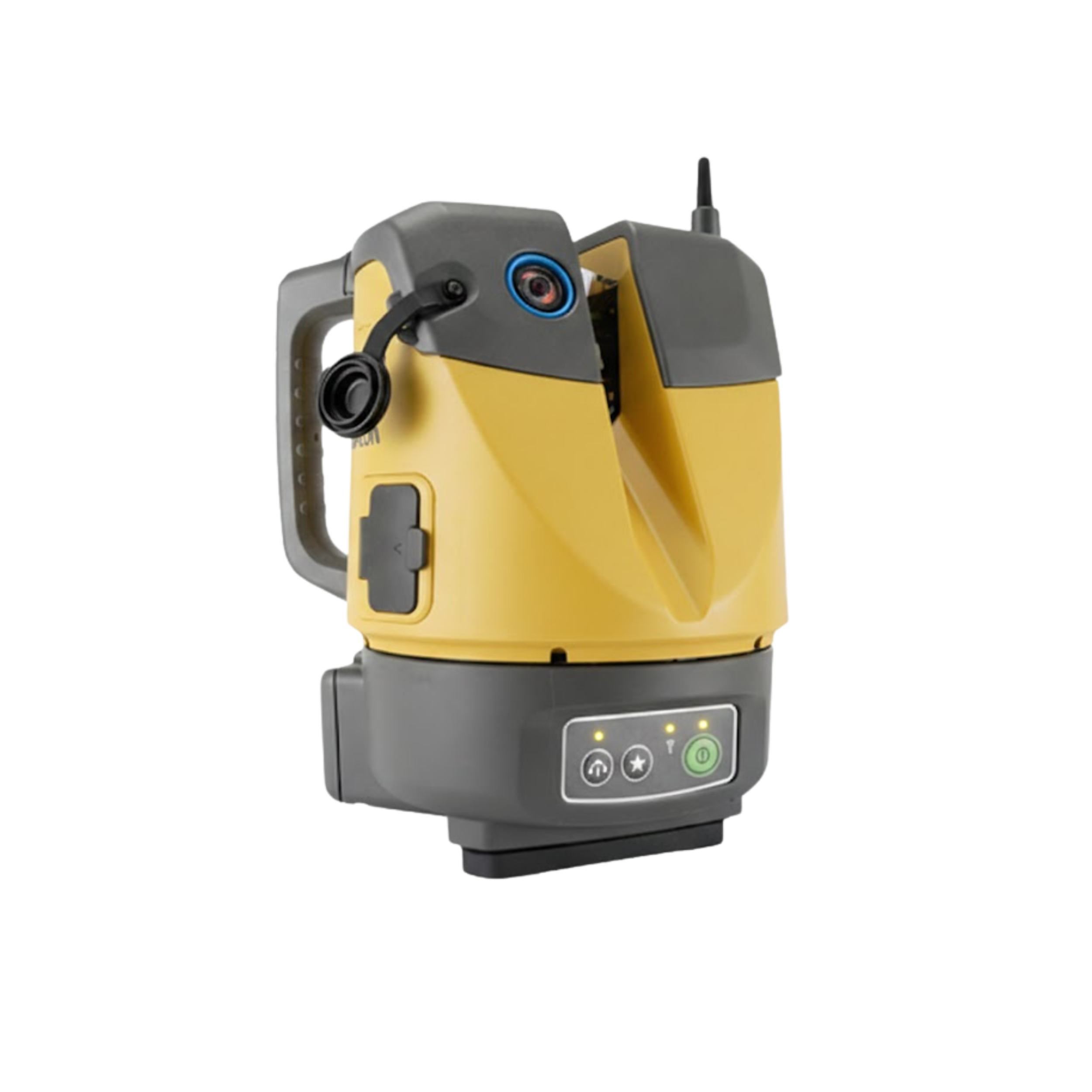
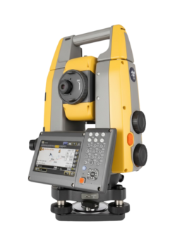
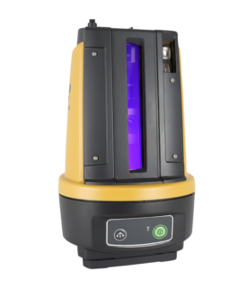
Topcon ESN-100 Scanning Navigator
Feature
Key Features
-
High-Speed 3D Scanning for fast and detailed field data capture.
-
Real-Time Navigation and Positioning ensures accurate movement tracking.
-
Advanced Sensor Integration for improved measurement accuracy.
-
Rugged and Weather-Resistant Design for demanding field operations.
-
Lightweight and Portable for easy setup and transport.
-
Seamless Data Output compatible with CAD, GIS, and survey software.
Applications
The ESN-100 Scanning Navigator is ideal for:
-
3D mapping and topographic surveying
-
Construction and infrastructure inspection
-
As-built documentation and layout
-
Tunnel, bridge, and industrial projects
-
Large-scale site scanning and monitoring
-
Utility, powerline, and terrain analysis
Why Buy ESN-100?
-
Delivers fast and accurate scanning with real-time navigation.
-
Reduces field time and improves data precision.
-
Designed for long-term outdoor performance.
-
Perfect for surveying, construction, mapping, and engineering professionals.
Brochure
Description
ESN-100 Scanning Navigator – Real-Time Scanning & Navigation System
The ESN-100 Scanning Navigator is a high-performance solution designed for precise scanning, positioning, and navigation in surveying and construction environments. With powerful sensors and integrated navigation technology, it delivers real-time 3D mapping and accurate location data for complex terrain and field applications. The ESN-100 enhances productivity, reduces surveying time, and ensures reliable measurement results in challenging field conditions.
Engineered for outdoor durability and ease of operation, the ESN-100 features advanced scanning capability, seamless data integration, and autonomous positioning support. It is ideal for professionals who require accurate spatial data for mapping, inspection, and engineering projects.
Key Features
-
High-Speed 3D Scanning for fast and detailed field data capture.
-
Real-Time Navigation and Positioning ensures accurate movement tracking.
-
Advanced Sensor Integration for improved measurement accuracy.
-
Rugged and Weather-Resistant Design for demanding field operations.
-
Lightweight and Portable for easy setup and transport.
-
Seamless Data Output compatible with CAD, GIS, and survey software.
Applications
The ESN-100 Scanning Navigator is ideal for:
-
3D mapping and topographic surveying
-
Construction and infrastructure inspection
-
As-built documentation and layout
-
Tunnel, bridge, and industrial projects
-
Large-scale site scanning and monitoring
-
Utility, powerline, and terrain analysis
Why Buy ESN-100?
-
Delivers fast and accurate scanning with real-time navigation.
-
Reduces field time and improves data precision.
-
Designed for long-term outdoor performance.
-
Perfect for surveying, construction, mapping, and engineering professionals.

Reviews
There are no reviews yet.