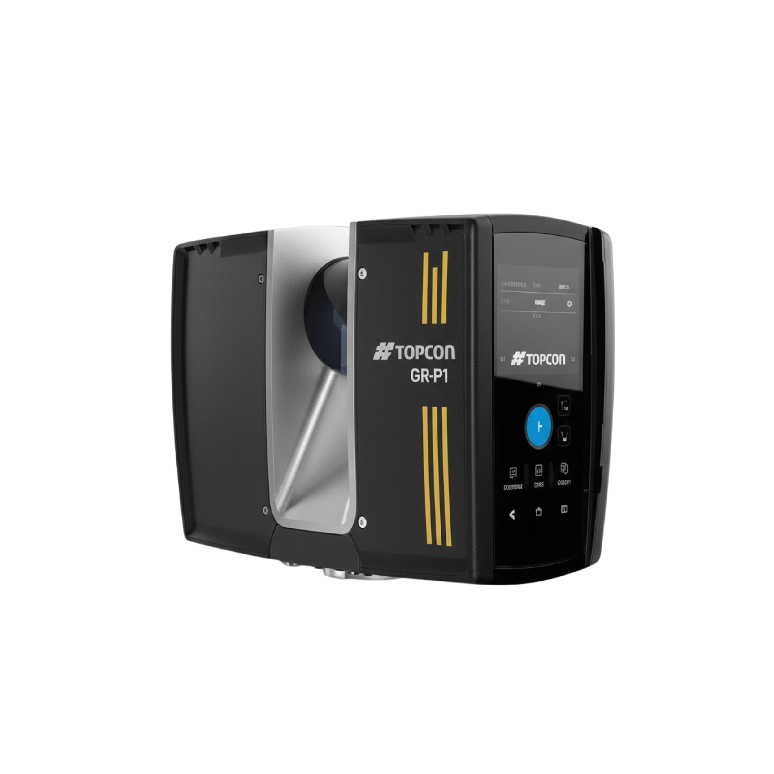
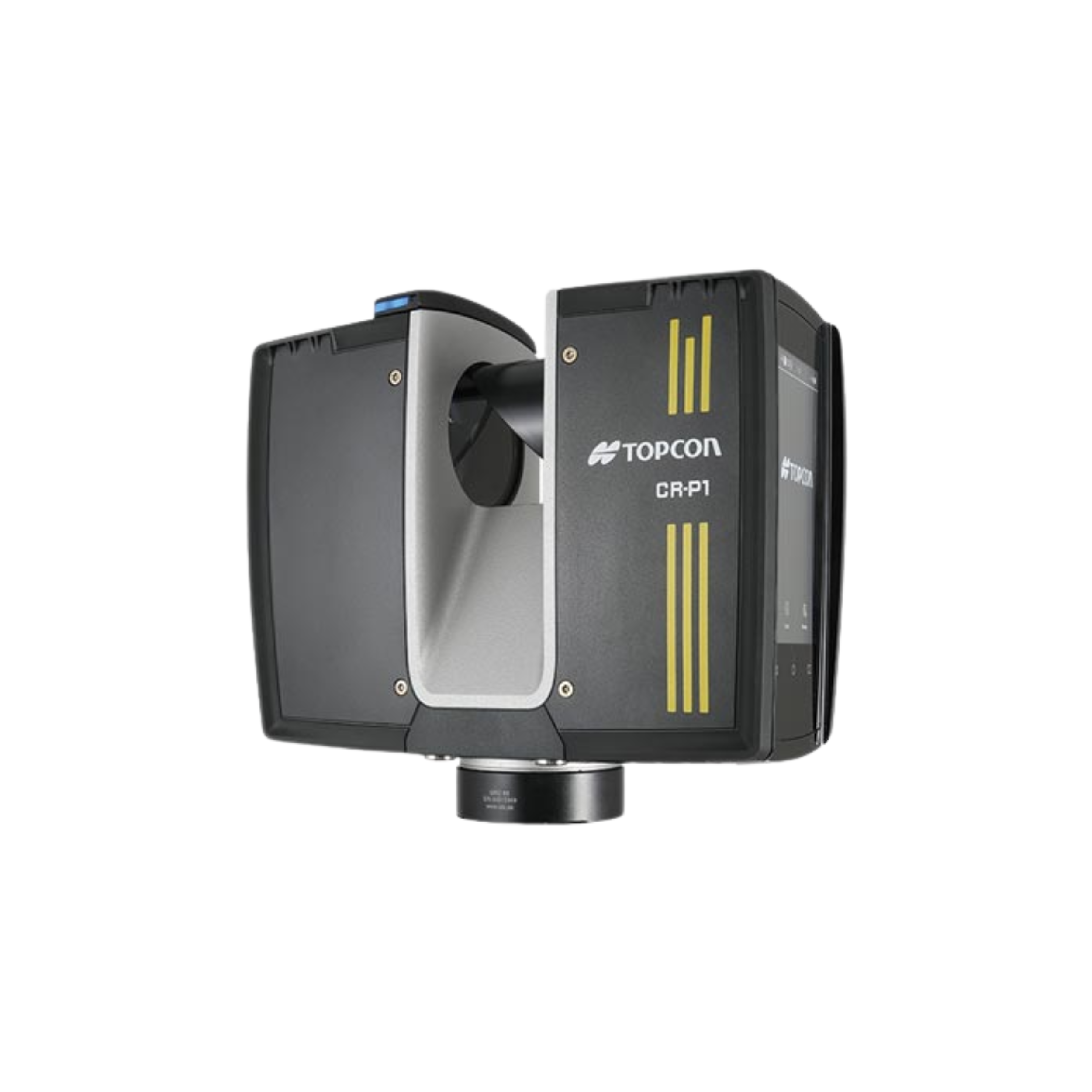
CR-P1 series 3D Laser Scanner
Feature
Key Features & Capabilities
-
High-speed scanning — captures up to 2 million points per second, providing dense and detailed 3D point-clouds.
-
Long-range performance — available in different range models, capable of scanning up to approximately 100–200 meters depending on configuration.
-
High-accuracy data — delivers precise 3D measurements with millimeter-level accuracy for professional surveying and engineering work.
-
360° × 300° Field of View — captures a full environment with minimal blind spots.
-
Compact and lightweight — portable design makes setup, transport, and scanning easy and fast.
-
Real-time registration — supports onsite point-cloud viewing and alignment for efficient workflow.
-
Safe and reliable — Class 1 eye-safe laser with rugged construction suitable for field environments.
🎯 Ideal Applications
-
Construction progress and verification
-
BIM and architectural documentation
-
Surveying and civil engineering
-
Industrial and facility scanning
-
Renovation and remodeling projects
-
As-built or existing condition surveys
✅ Why CR-P1 Stands Out
-
Extremely fast data capture
-
High accuracy with long-range performance
-
Lightweight and portable design
-
Efficient onsite and office-based workflow
-
Suitable for small, medium, and large projects
Brochure
Description
Topcon CR-P1 — 3D Laser Scanner
The Topcon CR-P1 is a high-performance, compact terrestrial 3D laser scanner designed for fast, accurate and detailed point-cloud capture. It is ideal for construction, architecture, surveying, renovation, and as-built documentation projects. The CR-P1 combines powerful scanning technology with a portable, lightweight design that makes data collection faster and easier in the field.
🔧 Key Features & Capabilities
-
High-speed scanning — captures up to 2 million points per second, providing dense and detailed 3D point-clouds.
-
Long-range performance — available in different range models, capable of scanning up to approximately 100–200 meters depending on configuration.
-
High-accuracy data — delivers precise 3D measurements with millimeter-level accuracy for professional surveying and engineering work.
-
360° × 300° Field of View — captures a full environment with minimal blind spots.
-
Compact and lightweight — portable design makes setup, transport, and scanning easy and fast.
-
Real-time registration — supports onsite point-cloud viewing and alignment for efficient workflow.
-
Safe and reliable — Class 1 eye-safe laser with rugged construction suitable for field environments.
🎯 Ideal Applications
-
Construction progress and verification
-
BIM and architectural documentation
-
Surveying and civil engineering
-
Industrial and facility scanning
-
Renovation and remodeling projects
-
As-built or existing condition surveys
✅ Why CR-P1 Stands Out
-
Extremely fast data capture
-
High accuracy with long-range performance
-
Lightweight and portable design
-
Efficient onsite and office-based workflow
-
Suitable for small, medium, and large projects

Reviews
There are no reviews yet.